
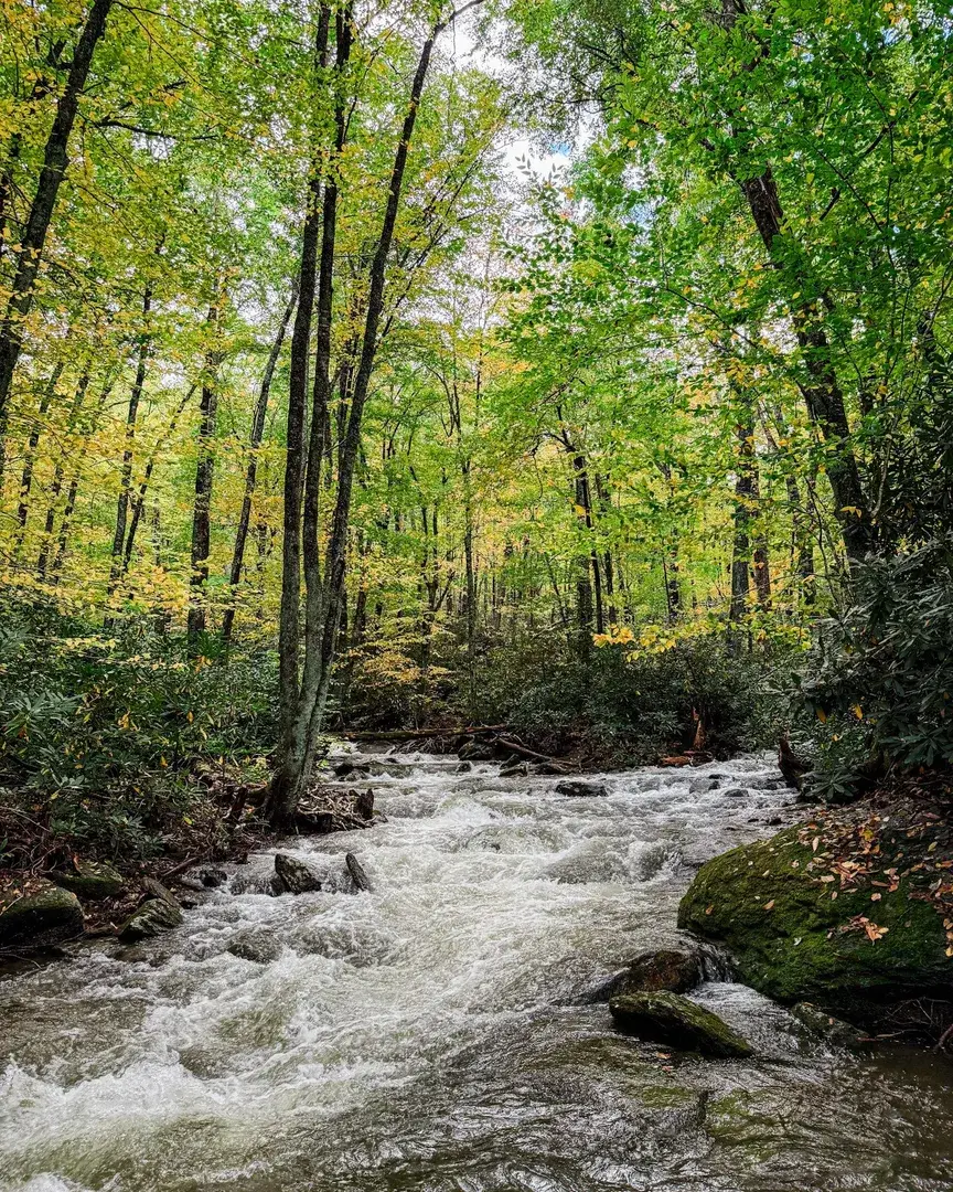
The remnants of Hurricane Isaias brought heavy rain and severe weather to North Carolina this weekend, with some locations along the Mountains-to-Sea Trail receiving more than 8 inches of rain! Preliminary rainfall reports from along or near the MST: - Jonas Ridge (Segment 4): 8.82" - Linville (Segments 4–5): 7.70" - Mount Mitchell (Segment 3): 7.33" - Deep Gap (Segment 5): 6.72" - Blowing Rock (Segment 5): 6.28" - Elkin (Segment 6): 3.28" - Pilot Mountain (Segments 6–7): 2.98" Asheville Regional Airport also recorded 3.81 inches on Saturday, breaking its daily rainfall record. The storm brought flooding, landslides, and strong winds to western NC, while tornadoes were reported in central portions of the state. Even though the rain has stopped, the danger hasn't necessarily passed. The USGS recorded a flow of 4,330 cubic feet per second on the Linville River near Nebo early Sunday, compared to a historical daily median of 63 cubic feet per second for October 11. That's nearly 69 times the typical flow for that date! A reminder of the dangers at stream crossings, including the MST's unbridged Linville River ford in Segment 4. Streams and rivers may continue rising after rainfall ends, while saturated ground, downed trees, and washed out trail sections may create additional hazards. If you're planning to hike the MST this week, please give waterways time to recede and trail conditions time to stabilize. Never attempt to cross swollen streams or flooded trails, and check for closures before heading out. Our trail maintainers and volunteers will be assessing conditions as it becomes safe to do so. Encounter a trail issue? Report it here: https://mountainstoseatrail.org/the-trail/trail-issues/ Stay safe! The trail will still be there when the waters recede. *Rainfall figures are preliminary and reporting periods vary. The Linville River gauge is downstream of the MST crossing.* #mountainstoseatrail Image: The confluence of Goshen Branch and Days Creek in Segment 5 is running high and fast after almost 7" of rain this weekend.